Optimal Reality
Bringing live transport operations and possible futures into one shared decision-making view.
Project story
I helped shape the Optimal Reality proposition and pitch, then carried that vision into its first Situation Awareness application for a major Australian transport organisation.
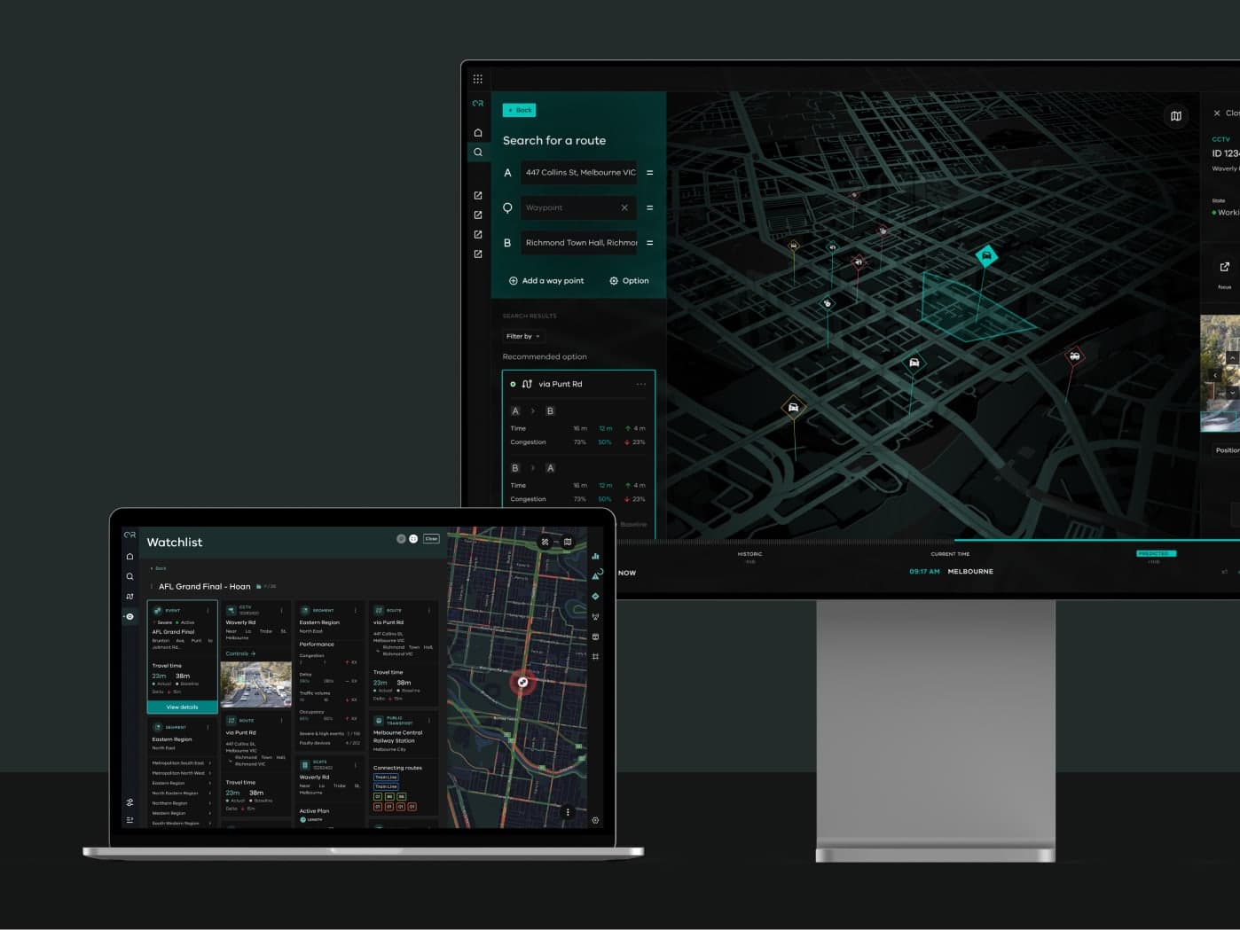
I led the visual and interaction direction for an operational view connecting networks, incidents and possible futures. As delivery grew, I guided designers and kept UX, UI and engineering aligned.
Shaping the proposition
We tested the proposition across seven priority use cases, defining the decisions, states and controls each role needed before moving into production.
Building with Atomic Design
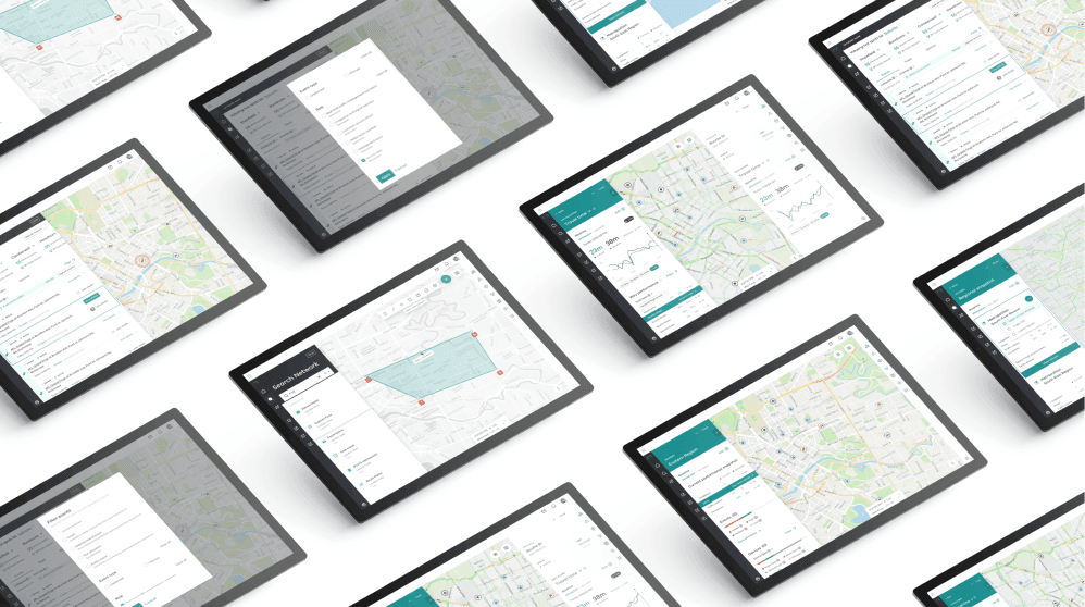
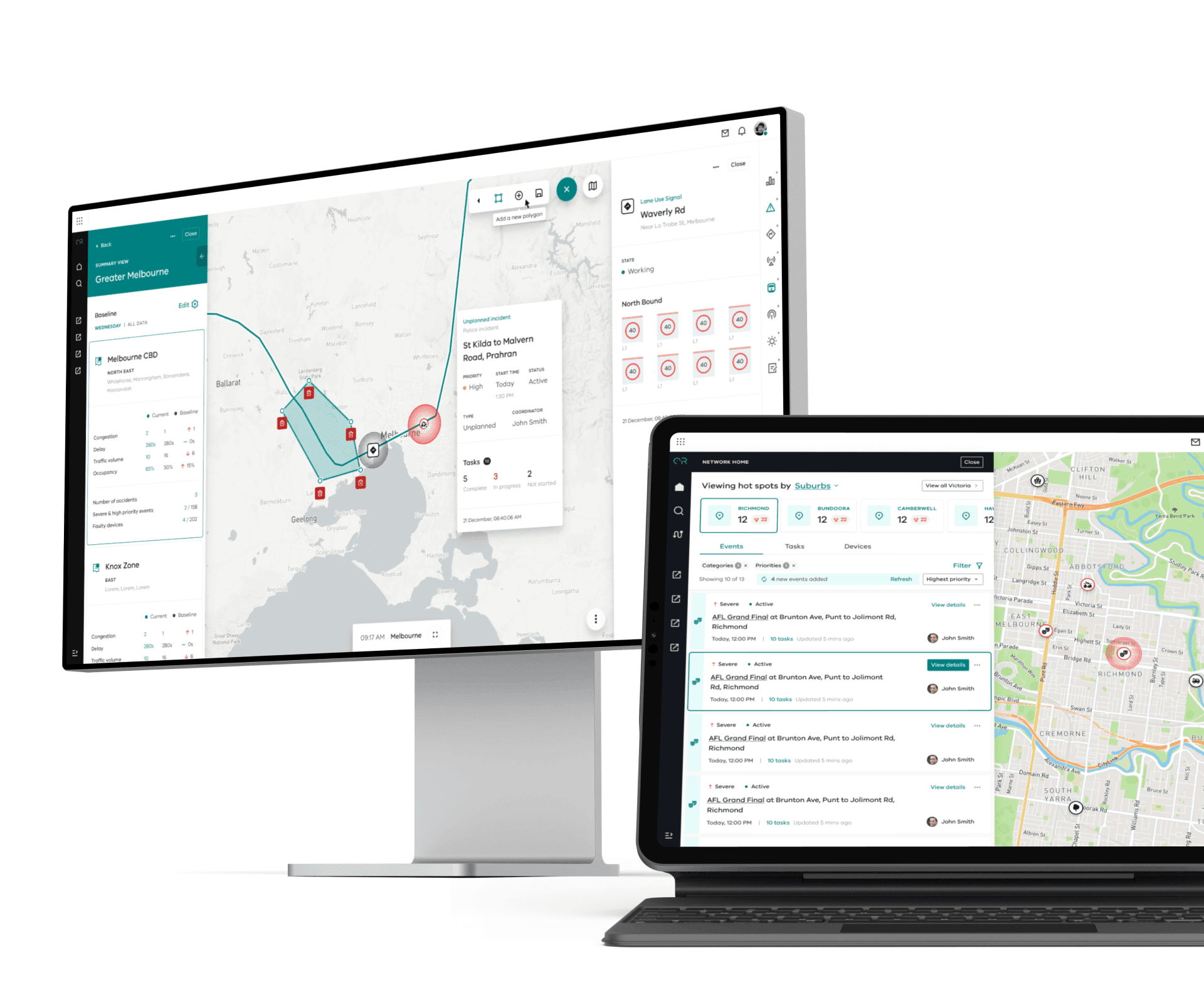
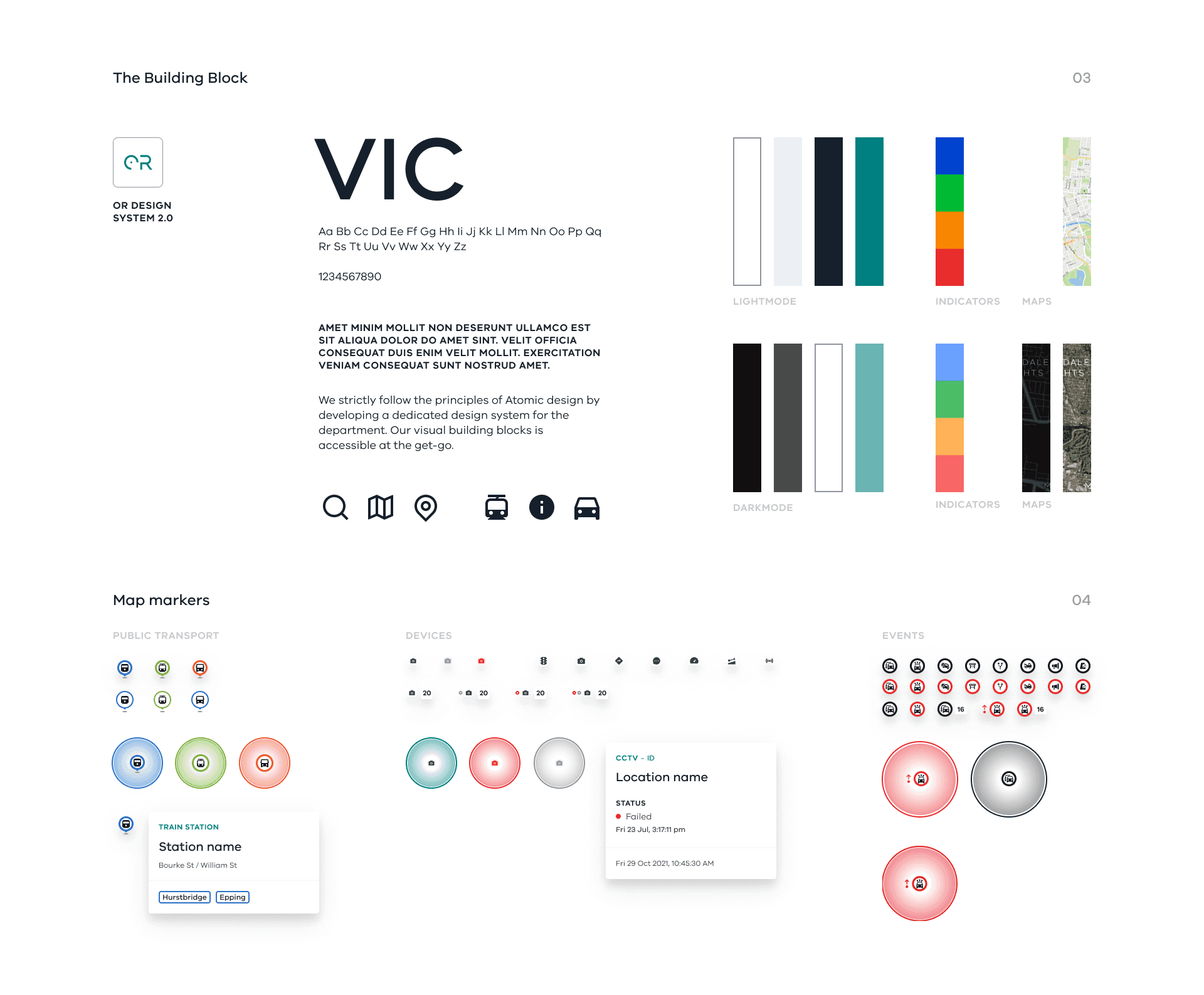
I used Atomic Design to build the interface from foundational styles into reusable components and patterns. It gave the expanding application a consistent logic, instead of resolving every screen in isolation.
Designing the map as an interface
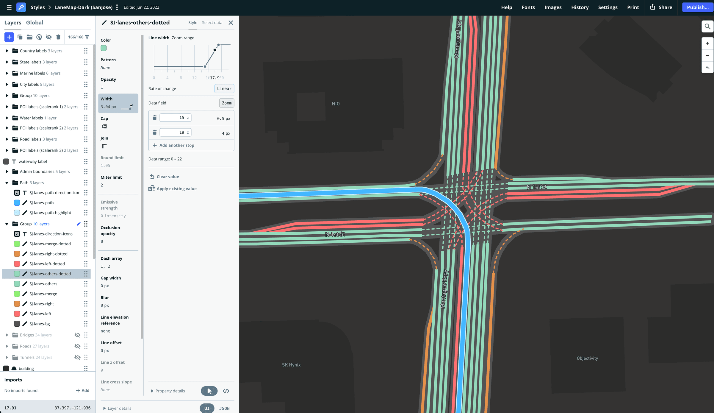
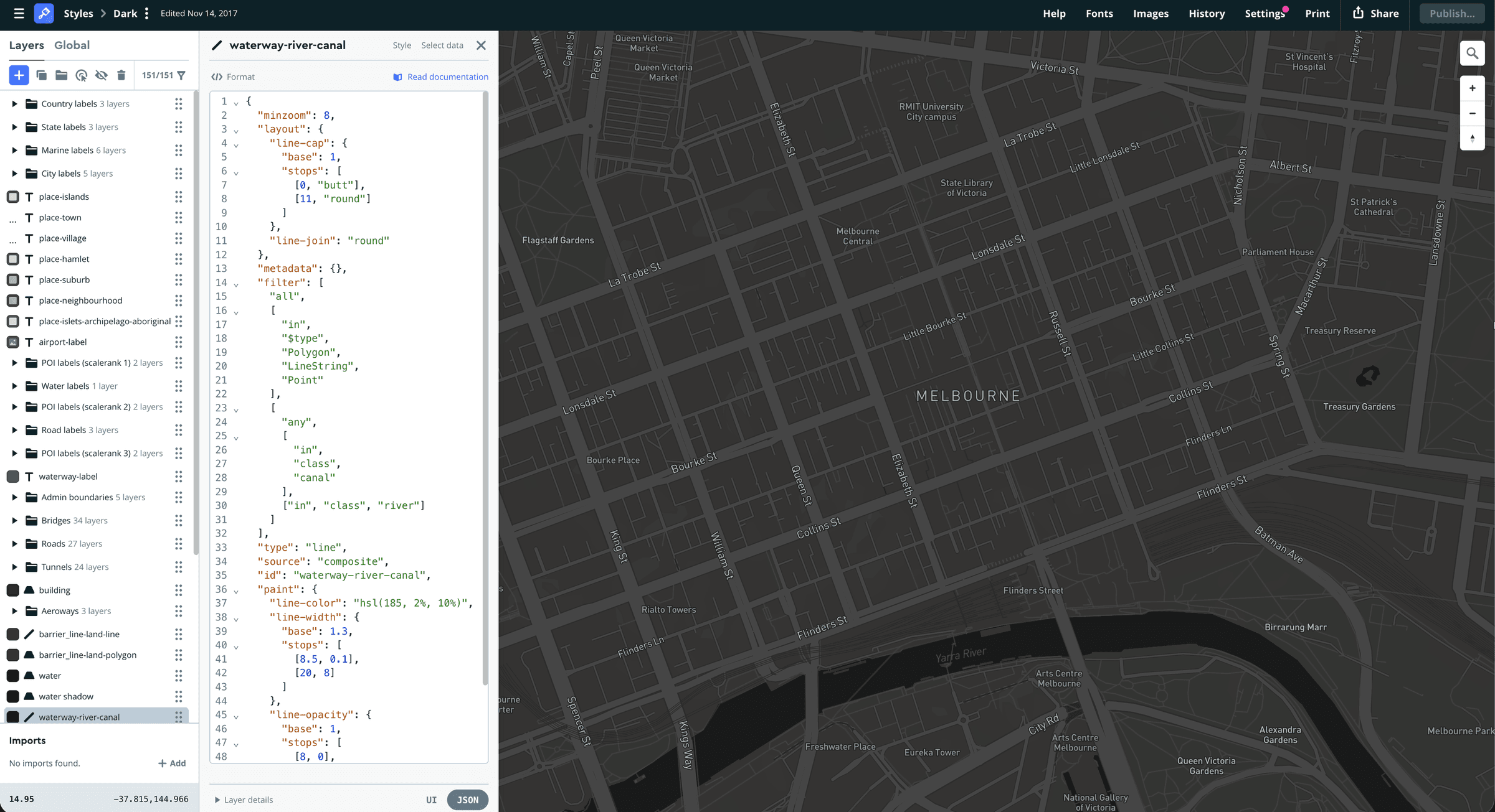
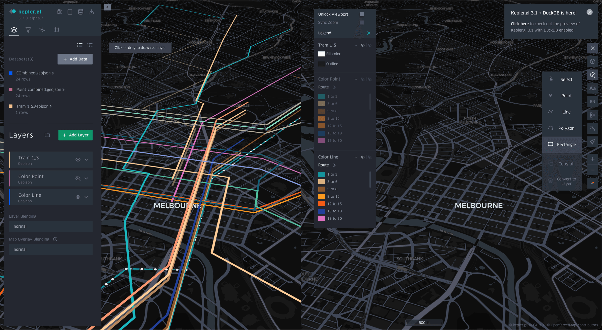
The design system extended into the map. In Mapbox Studio, I shaped a spatial language for roads, labels, routes and overlays across zoom levels, then used Kepler.gl and deck.gl to test legible 3D and data-rich views.
Scaling across roles and screens
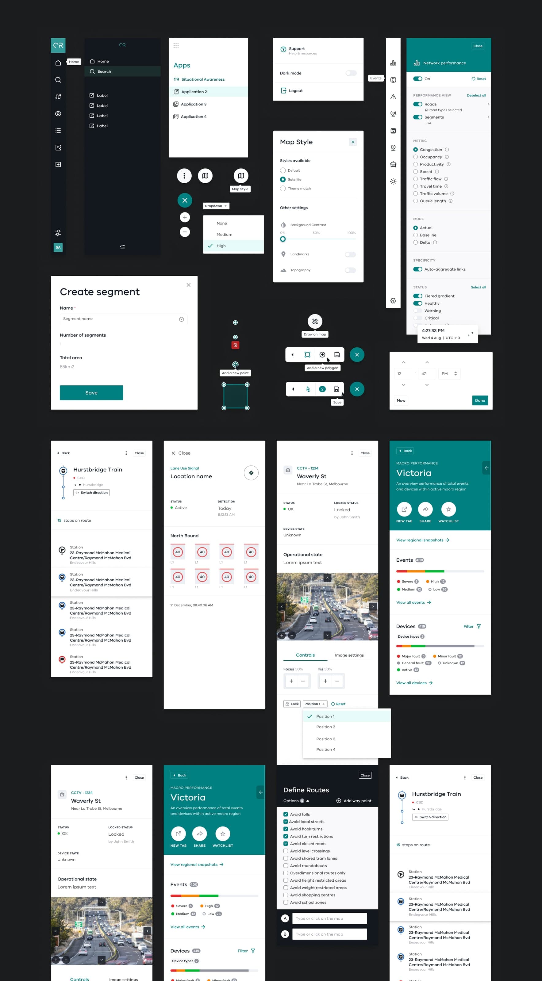
I translated that logic into reusable components across tasks, roles and screens, giving UX, UI and engineering a shared structure for extending the product.
Prototyping the whole experience
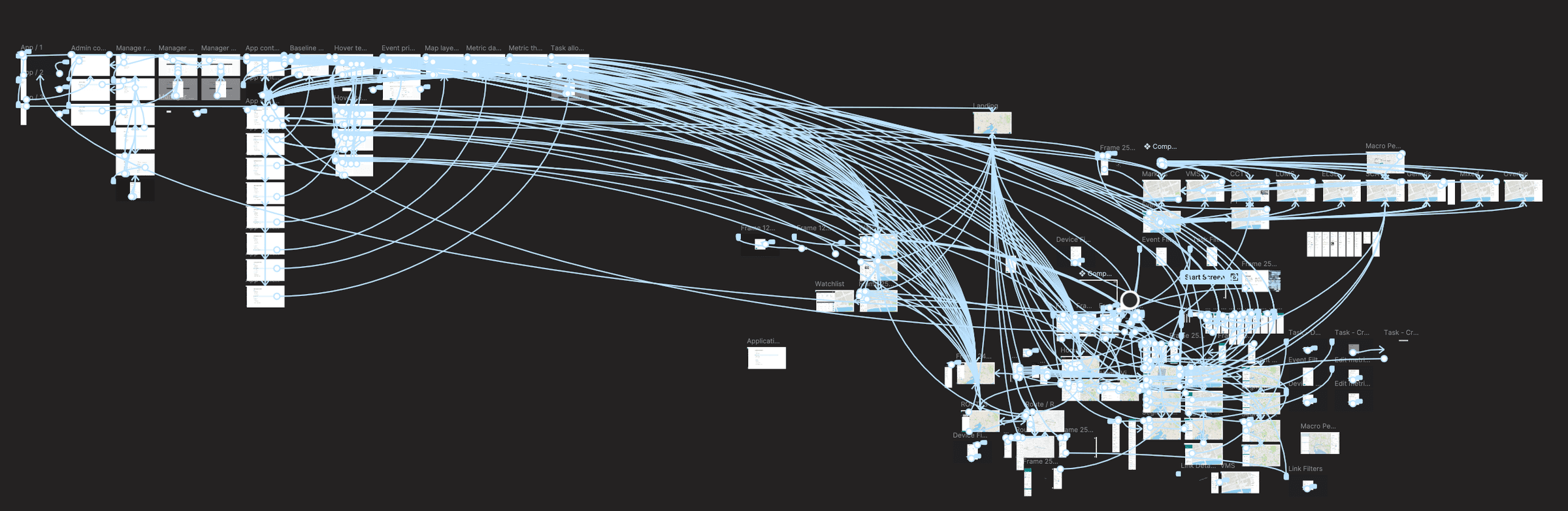
Before implementation, I connected high-fidelity states, transitions and behavioural rules into an interactive model of complete operational journeys.
Bringing Situation Awareness together
The proposition, design system, spatial language and connected flows came together in the first Situation Awareness application. The 360° case study shows operators exploring live network conditions, incidents and operational detail across the interface.
In six months, we shaped seven priority use cases into a coherent, testable application and a reusable design foundation for continued delivery.
A little reminder
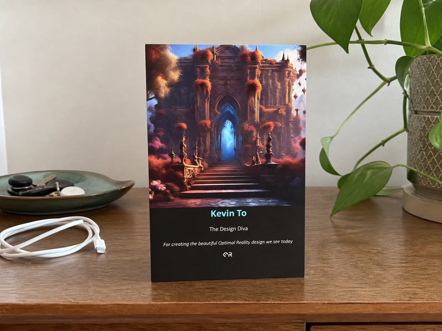
This keepsake from the Optimal Reality team still means a lot to me. I am grateful for the trust, the care and all the honest challenges that made the work better.
Optimal Reality was a team effort. I am proud of what we shaped together, and thankful it gave others a strong foundation to build on.
From foundation to offering
That foundation continued beyond the initial Situation Awareness application, growing into a broader Deloitte Australia offering for live decision and simulation systems across transport, energy, utilities and other complex physical networks.